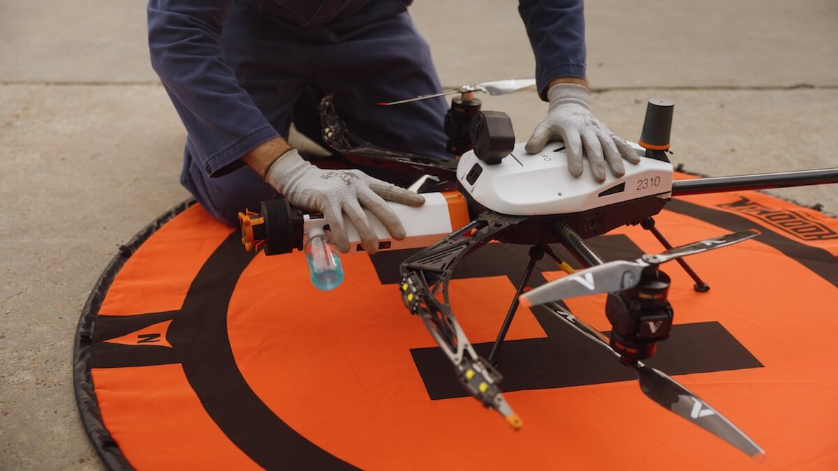
With current aerial NDT workflows, a skilled team using the Voliro T can collect over 100 thickness measurements per hour. That is already a significant improvement over traditional rope access or scaffolding-based methods.
What Changes with Voliro’s Drone-Based B-Scan
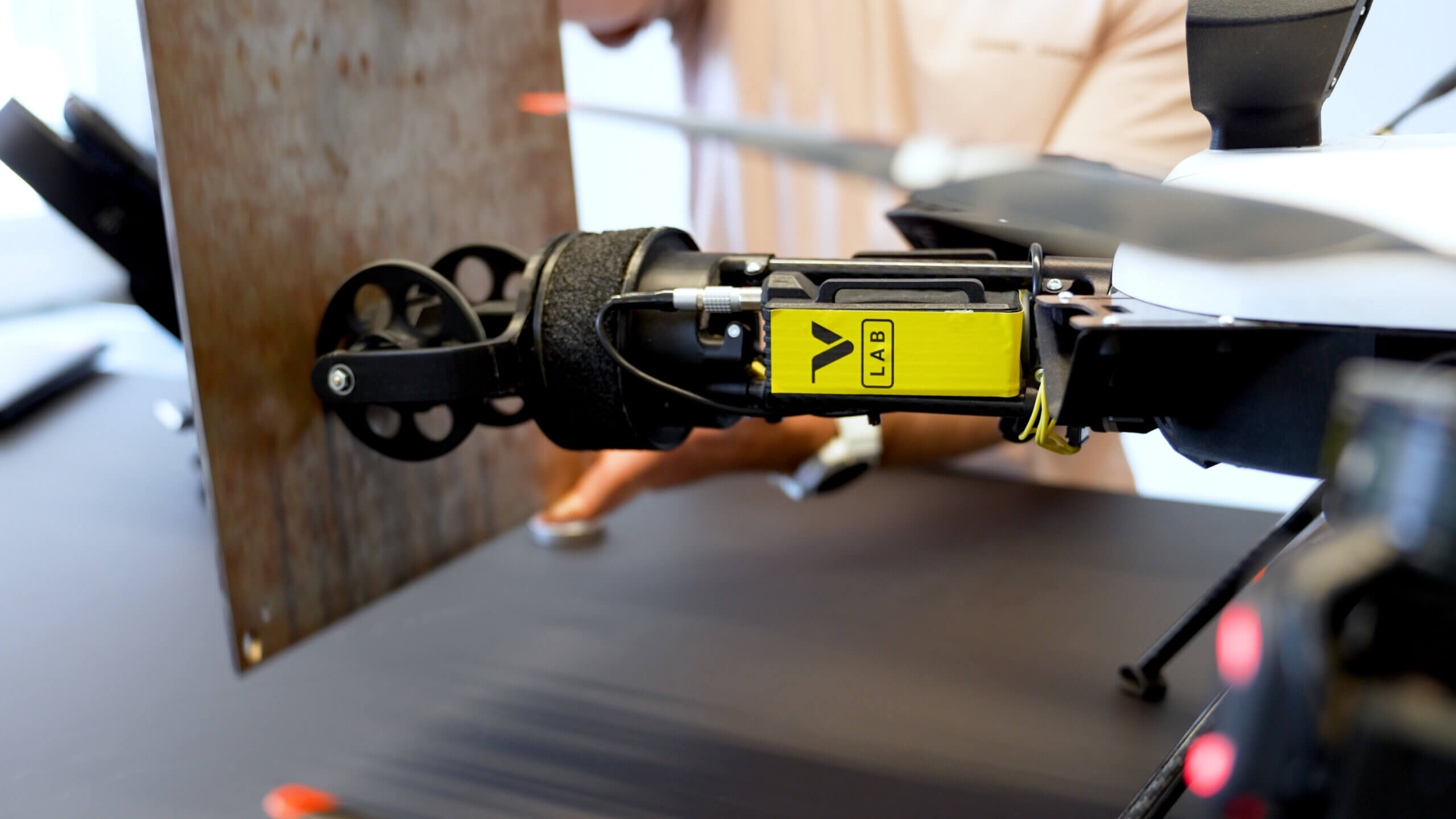
The rolling payload maintains continuous contact through an encoded wheel system as the drone moves along a surface. The result: tens of thousands of measurements per hour, a full B-scan waterfall record, and real-time thickness data.
Same Platform with Additional Scope of NDT Capabilities
For existing Voliro T operators, nothing changes operationally. Same drone, same pilots, same workflow, scanning added. What changes is significant:
- Full area coverage. Continuous scanning eliminates the blind spots between measurement points. For assets with known or suspected generalised corrosion, inspection coverage finally reflects the actual condition of the asset not a statistically sampled estimate of it.
- Defect sizing, not just detection. Point measurements confirm that wall loss exists at a given location. B-scan data characterises the full extent of it: the lateral spread of corrosion, the depth profile across an area, which is what fitness-for-service assessments and remaining life calculations actually require.
- Audit-ready records. The B-scan waterfall, thickness grid, and position data are generated during the flight and tied to spatial coordinates from the Voliro’s onboard positioning system. The result is a complete, documentable inspection record, reviewable, adjustable, and ready for upload to the Voliro Cloud and integration into reporting workflows without a separate processing step.
- Reduced access dependency. Corrosion mapping at the resolution now achievable with aerial B-scanning has historically required direct physical access such as rope access teams, scaffolding, or specialist crawler systems. The Voliro T removes those dependencies for a growing range of asset geometries, including curved surfaces, assets in service, and structures at height.
What’s Next
The Voliro B-scan rolling payload is the first step in a broader scanning strategy on the Voliro T platform. UT arrays, phased array systems, and corrosion-under-insulation mapping are already on the technology roadmap, each building on the same rolling contact capability. For Voliro T operators, the platform they are already flying is the one that will carry each of these capabilities as they become available.
This is an early prototype, and we are actively looking for Voliro T operators and asset owners to collaborate on field validation. If you manage critical infrastructure and want to be among the first to test this on your assets, reach out.
→ voliro.com/contact