1.
The Best Drones for Mining Companies
1.1.
VoliroT
1.2.
Elios 3
1.3.
DJI Phantom 4 RTK
1.4.
WingtraOne
1.5.
Censys Sentaero 5
2.
Conclusions
1.
The Best Drones for Mining Companies
1.1.
VoliroT
1.2.
Elios 3
1.3.
DJI Phantom 4 RTK
1.4.
WingtraOne
1.5.
Censys Sentaero 5
2.
Conclusions
Safety is an innate requirement in the mining industry as the slightest misstep may endanger personnel. Mining drones keep crews out of potentially hazardous underground, above-ground, and at-height areas. They eliminate the need for rope access to investigate confined spaces and provide a detailed big-picture view of the site and its conditions, enabling better planning and safety precautions.
So it’s hardly surprising that 70% of large mining companies have started using drones at least in some capacity since 2016. If you too are looking to start a drone program (or expand an existing fleet), here are some of the best models available on the market right now.
Mining sites often have harsh conditions — high dust, inclement weather, and subsequent differences in air velocities. A good drone for mining companies needs a rugged design, high dust resistance, and reliable navigation systems for GPS and non-GPS flight missions.
Onwards, the primary use case will play a key role in model selection. Drones can be deployed for asset and equipment inspection, stockpile management, and various exploration and surveying scenarios. Great options exist for each of these use cases.
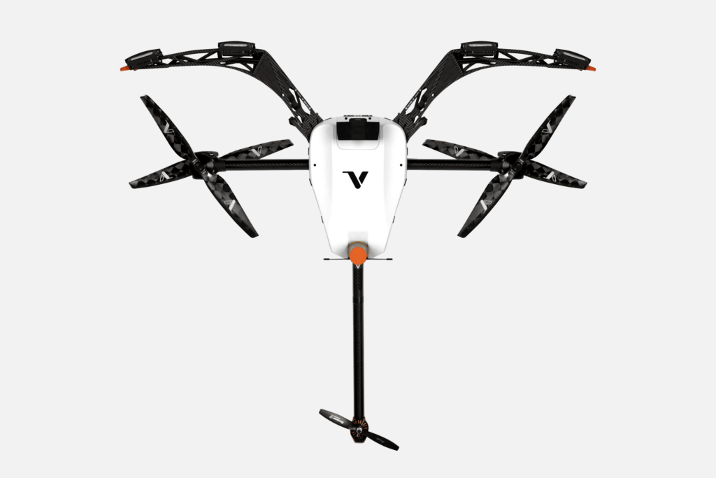
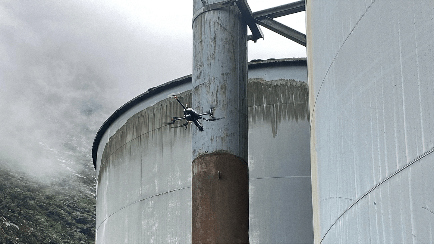
Voliro’s compact tricopter packs a punch when it comes to close-to-structure inspection work. Conveyor belts, crushers, ship loaders, grinding mills, and other mining assets must be regularly assessed for structural integrity — cracks, deformations, corrosion, etc. Yet, inspections often mean prolonged equipment downtime or high costs due to restricted surface access.
Thanks to Voliro’s 360-degree movement and optimized payload bay design, inspectors can perform structural assessments while staying firm on the ground. Voliro offers non-destructive testing (NDT) tools for wall thickness measurement, dry film thickness measurement, and corrosion detection under insulation. Boasting the same characteristics as hand-held devices, the Voliro drone substantially reduces the costs and complexities of inspecting various mining assets (conveyor belts, storage tanks, pipelines, etc.).
Two six-packs of LiDAR and computer vision-based velocity sensors, plus an RTK GPS module ensure stable hovering close to the surface. An AI interaction assistant further streamlines data collection. Indoors, Voliro remains equally stable using data from the internal navigation system (height, velocity, attitude, etc.) to stay on the chartered course.
Our technology can reduce inspection times by 2-4X depending on the asset and slash associated overhead costs. A mining operator in Indonesia avoided costly over-water platform construction to inspect a ship loader for structural fatigue using our ultrasonic transducer payload.
Main Features
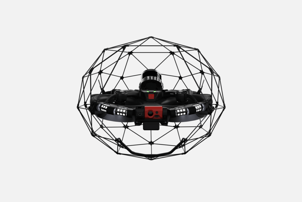
Designed for confined spaces, Elios 3 combines a rugged body with advanced navigation software. It’s a sturdy quadcopter made of aeronautical-grade aluminum and kevlar composites, housed in an impact-resistant carbon fiber cage with a soft coating.
To safely cruise through unknown terrain, Elios 3 relies on a SLAM-based stabilization and a Flyaware engine combining computer vision and LiDAR. The engine builds real-time 3D maps of the surveyed environment, providing the drone with location awareness in GPS-denied environments and mining operators — with new surveying data from areas beyond the line of sight with centimeter precision.
The compact design and lean flight performance allow sending Elios 3 through openings as small as 50 x 50 cm (19.7 × 19.7 in). Unlike other commercial drones in mining, Elios 3 is also ‘collision tolerant’. It will auto-reorient itself after a light crash, which may happen in unmapped terrain.
These characteristics make Elios 3 one of the best drones for underground mining exploration. You can inspect ore passes, shafts, ventilation systems, and abandoned tunnels with fewer risks and hassle, harvesting rich terrain and asset data.
Main Features
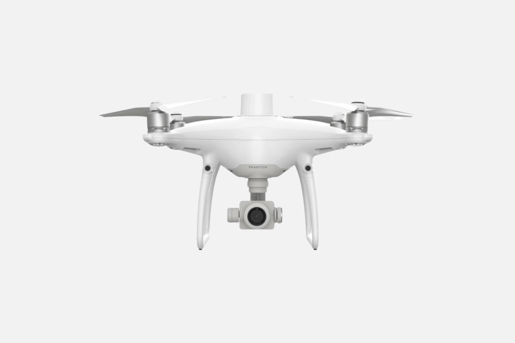
Phantom 4 is a good ‘starter’ option for site security patrolling, hazard identification, and aerial terrain data capture. At a more affordable price, Phantom 4 RTK shares some of the key features of DJI’s advanced enterprise drone models like the Matrice 30.
These include an RTK module that enables 1cm+1ppm horizontal and 1.5cm+1ppm vertical positioning accuracy and a 1-inch 20 MP CMOS sensor with a mechanical shutter. The camera payload can maintain a ground sample distance (GSD) of 2.74 cm at 100 meters altitude, sufficient for performing stockpile measurements and recording geological changes in open-pit mine walls. Data transmission remains stable up to 7 km (4.3 miles).
The new TimeSync system simplifies photogrammetry missions by ensuring alignment between the flight controller, camera, and RTK module. It provides accurate positioning and meta-data for each photo. The UAV also stores satellite observation data for Post Processed Kinematics (PPK).
Yet, a max flight time of 30 minutes (in good weather) limits the area coverage to 35 ha (86 ac) per mission. So Phantom 4 is mostly suitable for deployment at smaller mining sites. There’s also no payload bay, meaning you’ll have to deal with Phantom 4’s RGB camera sensor only.
Main Features
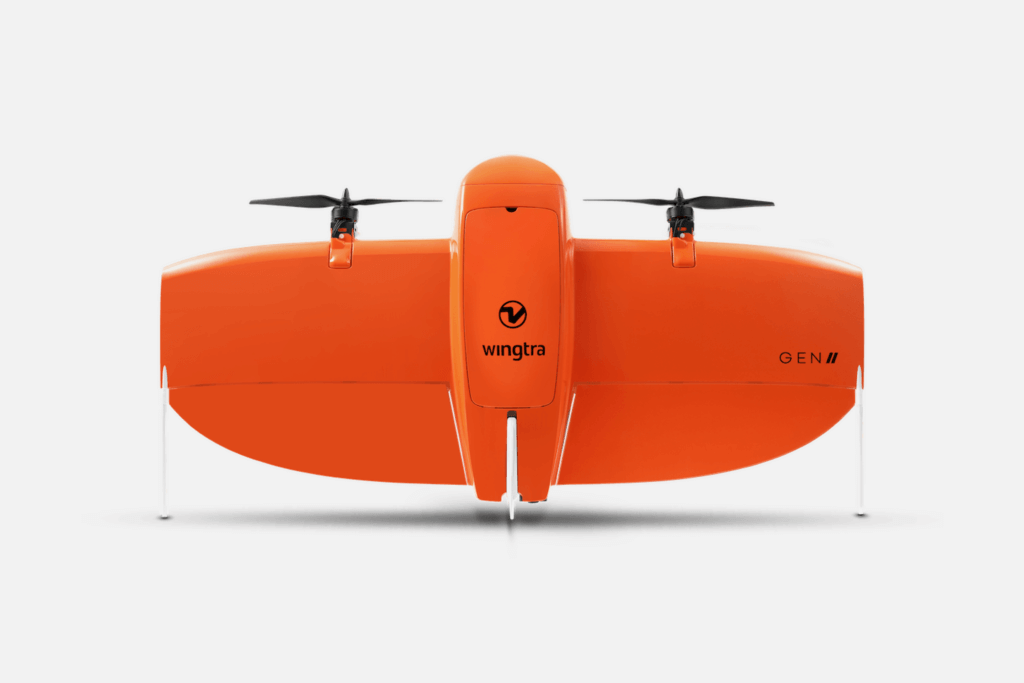
WingtraOne has already proved its mettle as a reliable VTOL for land surveying and mapping. Gen II, released in late 2021, boasts an impressive flight time of up to an hour, thanks to a pair of 99 Wh li-ion smart batteries, which are easy to swap mid-mission and auto-resume flight.
With a maximum fly speed of 16 m/s (36 mph) and an onboard high-precision PPK GNSS receiver, which eliminates the need for ground control points (GCPs), WingtraOne Gen II speeds up data collection by 11X compared to multicopter drones. The PPK data enables advanced terrain modeling of high wall structures, tailings dams, and stockpile volume changes to ensure operational safety.
An RGB 61 MP full-frame camera with an advanced LIDAR sensor, further streamlines the speed and quality of photogrammetric data collection. The VTOL can deliver absolute horizontal/vertical accuracy down to 1-3 cm while offering a maximum coverage of 10 ha at 1.9 cm GSD when flying at 120 meters (400 ft). So that you can collect precise volumetric data for structural assessments, post-blasting assessments, and ongoing stockpile management.
Apart from RGB sensors, WingtraOne is also compatible with MicaSense multispectral sensors, making it a handy drone for mineral exploration at new sites, as well as ongoing monitoring of tailings to reduce the environmental impact.
Main Features
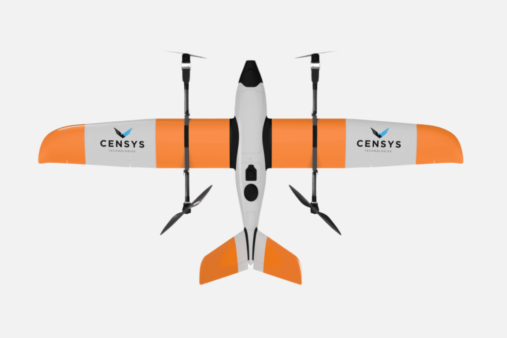
Sentaero 5 from Censys is another fixed-wing, EPO foam VTOL, with impressive land surveying and photogrammetry capabilities. Compared to WingtraOne, Sentaero 5 is more robust. It has a flight time of 1.5 hours at a max cruising speed of 64 kph (40 mph) and a maximum range of 88 km (55 miles). That’s 7.5X more than standard fixed-wing drones and 14X more than most multi-copters, according to the company.
What truly sets Sentaero 5 apart from other VTOL drones in the mining industry is reliable BVLOS connectivity and FAA approvals in the US. Thanks to a secured C2 Link and ADS-B receiver, Sentaero 5 can rapidly process commands from the ground station and detect cooperative air traffic. Fail-safe mechanisms like stall prevention, low battery return-to-launch (RTL), and automatic obstacle avoidance ensure risk mitigation during BVLOS missions. In August 2024, Censys was granted regulatory approval for operations over people (OOP) and moving vehicles (OOMV) in the US.
Another great advantage of this mining drone is its payload capacity of 1.8 kg (4lbs) and versatility in supported options. The current roster includes RGB, multispectral, and thermal imaging cameras, plus a high-precision LiDAR mapping sensor. Censys is one of the few companies offering native integration with the Phase One iXM-100mp camera — one of the best in optical resolution, light sensitivity, and dynamic range. These characteristics make Sentaero 5 a solid contender for topographic surveying and resource exploration missions.
Main Features
Mining drones are progressively replacing expensive inspection methods and time-consuming surveying approaches. Tasks like cut volume calculations or wear and tear detection on conveyor systems that used to take days (or weeks) can now be done in hours with much smaller crews.
High-quality aerial video footage, 3D underground terrain models, and accurate wall thickness measurements are just a few types of data drones can supply to mining companies on a cost-effective basis.